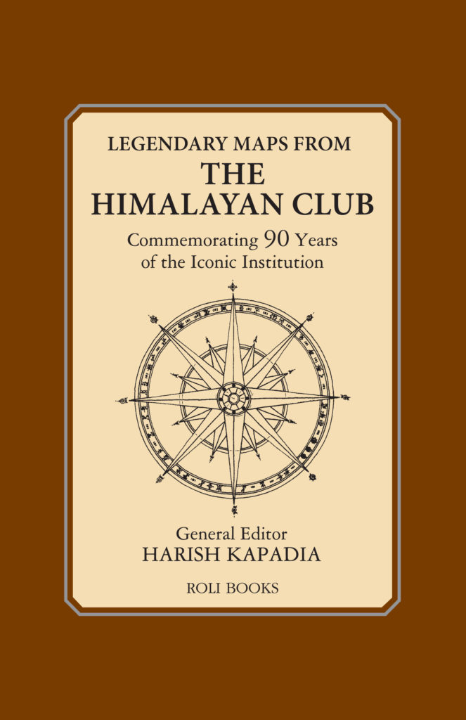
Harish Kapadia a mountaineer himself has several credits with the plethora of activities in the Himalayas. Through his numerous books and in being the leader and organizer of umpteen expeditions, he has personally climbed more than 30 Himalayan peaks. He has been greatly honored by the President of India with the prestigious “Tensing Norgay National Adventure Award”. The Book Legendary Maps of the Himalayan Club talks royalty and confidence of The Giants to have invited numerous expeditors for varied opportunities.
This book talks about such glorious expeditions and experiences over 90 years in the Himalayan region and Himalayan Club has played a significant role. The Maps from the Himalayan Journal captures the discovered truths of Himalayas and facets of exploration.
The last few decades have experienced and witnessed impeccable explorations; trails to complete the quest to trace the routes and climbs to the Brahmaputra river and exploring the Kunzang valley. This book shows varieties of enthusiastic people and their gut to explore the giants and contribute to Himalaya’s rich history of exploration and serves as a treasure trove of varies such instances.
The concept of each chapter is a sketch of the map of a mountain which has been explored, visited, lived at and owned by the explorers. It depicts oneness as the Mountaineers have a sentiment attached to them along with supporting story to it. The book insists on sketch maps accompanying expeditions and them maps are a source of the quick overview of the region visited alone with the route taken. It takes all its readers to the very place and picturesque of the regions explored. Harish Kapadia is the veteran mountaineer and explorer of Himalayas and has spent many years as the editor of the Himalayan Journal. The map sketch speaks a thousand words and is definitely a pictorial narrative. The map is comprehensive enough for location in perspective. It also helps in tracking and helps explain how the handmade maps figure out to help the trekkers get bird’s eye view of a region or a mountain; certainly a mental imagery of what visitor is getting into.
This book celebrates evoking and bringing into life the spirits of exploration with human capabilities of noticing the world from their point of view. The act of being outdoors and the desire to climb all lies in one’s wish and determination and the book instigates this well and makes one comprehend their own life through the beautiful journey of the trekkers/mountaineers with their chosen mountains. For the map sketches, the cartographic software isn’t used but a regular illustrating software is. Visual clues like variations in elevation or the prominence of ridge lines are indicated in a rudimentary way. The maps are generally flat in appearance. Emphasis is on helping the readers and lets them flow into the world of mountain imagery and lays all its priority on the sketch maps which talks valor and glory.
Courtesy Roli Books


