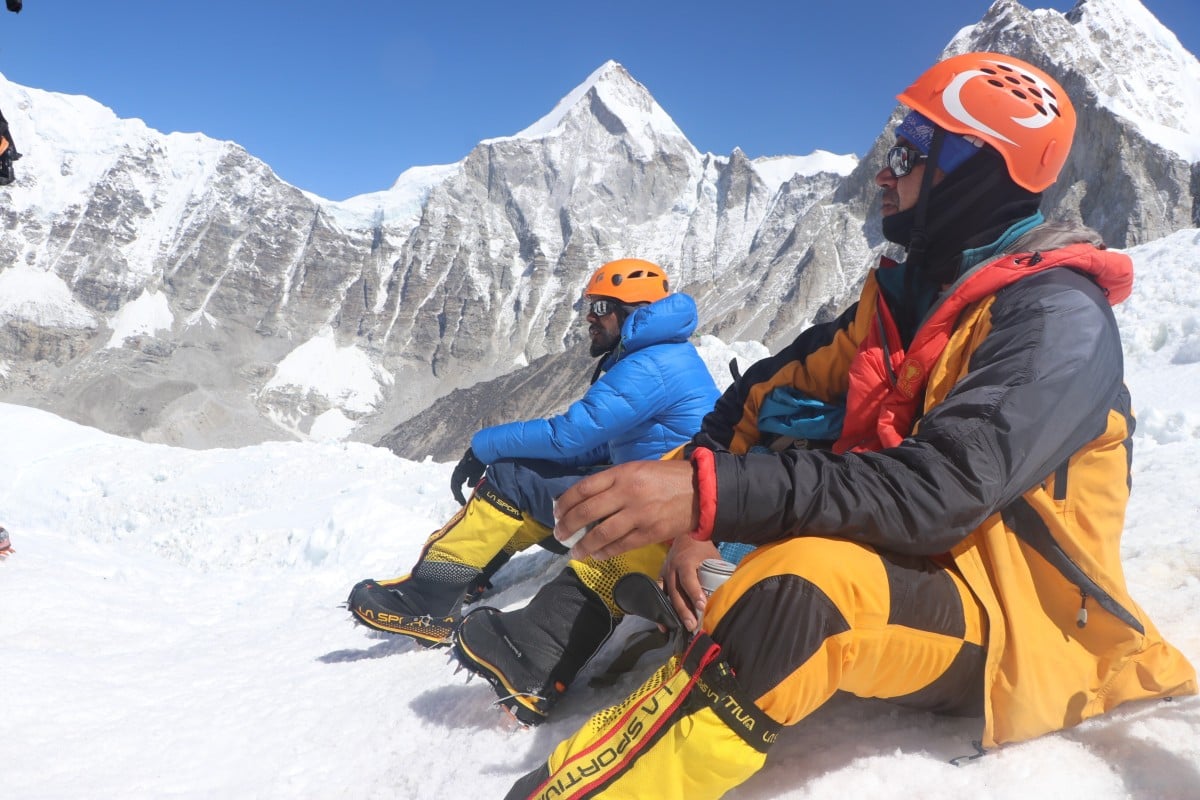
On reaching the peak of Mount Everest, climbers usually pose for photographs, fly their country’s flag, or just gaze at the majestic Himalayas.
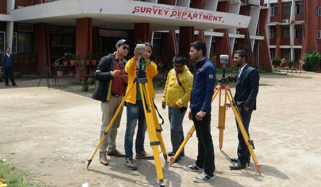
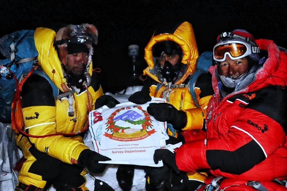
Khim Lal Gautam, a surveyor who works for Nepal’s government, did not have much time to appreciate the view when he reached the top of the world last year. He and the four members of his team got straight down to work when they set foot on the peak in the early hours of May 22. Despite thin air and temperatures dropping to minus 43 degrees Celsius, they fixed radar and navigation devices, changed batteries and gathered data to measure the height of the world’s tallest mountain.
The process cost Gautam a toe from frostbite, while Rabin Karki, another surveyor, faced death after running out of oxygen just below the south summit, at 8,600 metres.
“There was nobody there when we reached the top, but more than 100 people came and went while we were doing our work,” Gautam says.

The mission mattered for the team as it enables Nepal to declare the height of Mount Everest for the first time in the country’s history. That means Nepal, home to Mount Everest, can finally resolve the long-running dispute over the exact height of the world’s tallest mountain.
“We have already completed work on our part. We are waiting for China to finish work on its part. The two countries will jointly announce the height soon,” says Prakash Joshi, director general of the Survey Department. China sent its own surveyors to the mountain in May, the only expedition to summit Everest in 2020 due to the pandemic.

Gautam’s team measured Everest’s rock height and snow height using the Global Navigation Satellite System (GNSS) and ground penetrating radar, using scanners, control monitors and antenna that they carried up with them. Ahead of the mission, the Survey Department carried out traditional trigonometric measurements and set up gravity stations and continuously operating reference stations (CORS).
Rijan Bhakta Kayastha, an expert on Himalayan glaciology at Kathmandu University, says there has not been enough research into how climate change affects the peaks of mountains above 8,000 metres.

“Besides dust coming from deserts, many other factors including carbon emissions from industry, firewood and the use of dried cow dung [for fires] are affecting the snow,” he says. “In the upper belt, sublimation is occurring at a higher pace due to high temperatures and the area’s proximity to the sun.”
Gautam, 36, had to convince his family to allow him to join the mission as they were worried about the risks involved. But he signed up willingly, having climbed Mount Everest in 2011, the first Nepali civil servant to do so.
If the 42 days Gautam spent on the mission were among the hardest and proudest in his career, they are also associated with great personal loss. He later learned his wife had given birth prematurely, leading to the loss of their first child. This could have been due to tension or other factors, Gautam says. “But many in my family still think that this wouldn’t have happened if I had stayed home.” He also lost a toe after months of unsuccessful and costly hospital treatment for frostbite.

